Hurricane Beryl floods a street in Hastings, Barbados, Monday, July 1, 2024. AP Photo/Ricardo Mazalan.
According to a recent projected trajectory, the closest approach of the center would be 241 miles to the southwest of Cabo Rojo.
The dangerous and extremely powerful Hurricane Beryl made landfall Monday on the Caribbean island of Carriacou after becoming the earliest storm of Category 4 strength to form in the Atlantic, fueled by record warm waters.
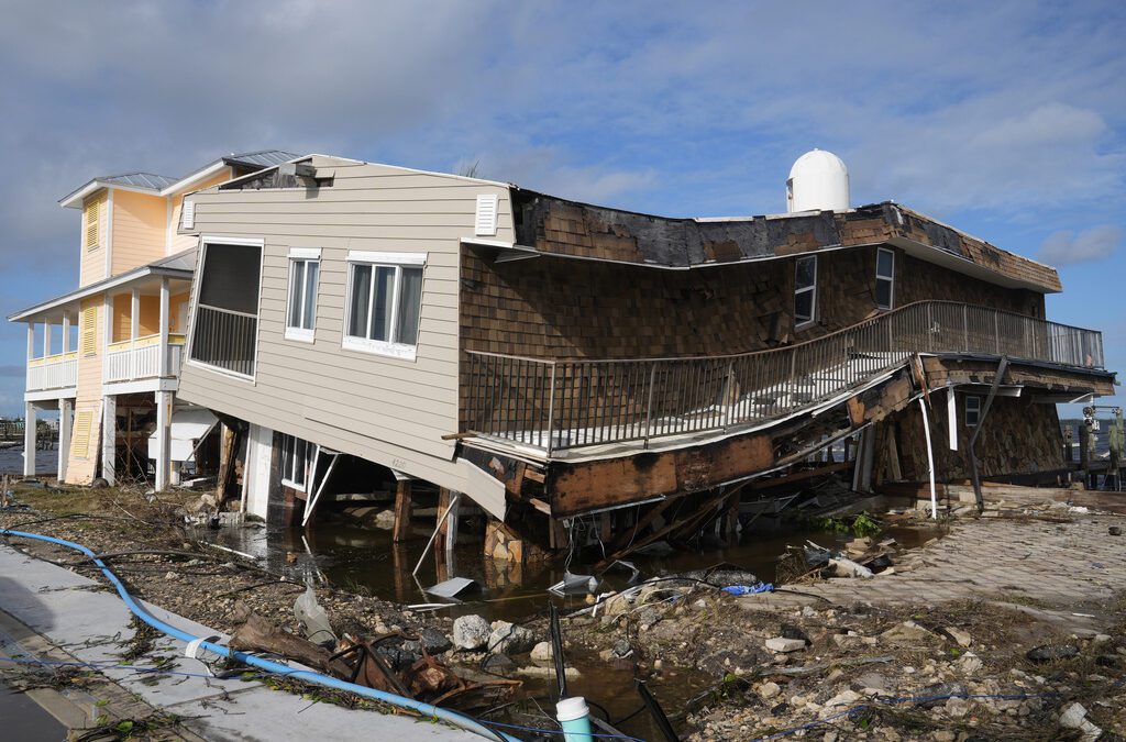
Just shy of a Category 5 storm, the hurricane blew off roofs, uprooted trees, and caused other damage on Carriacou, one of the islands of Grenada, and elsewhere in the southeast Caribbean.
RELATED: Meteorologists expect an ‘explosive’ hurricane season
“This is an extremely dangerous and life-threatening situation,” the National Hurricane Center said.
Puerto Rico is outside Beryl’s cone of uncertainty, but starting Monday afternoon, the hurricane’s indirect effects will begin to be felt.
Because the hurricane will pass about 200 miles or more south of the island, a high risk of ocean currents is expected. Therefore, the National Weather Service San Juan (NWSSJ) issued a warning for small boat operators, which will be in effect from 6:00 p.m. on Monday until noon Wednesday.
According to a recent projected trajectory, the closest approach of the center would be 241 miles to the southwest of Cabo Rojo.
Beryl’s outer bands could move across Puerto Rico starting Monday night, generating squally weather and breezy conditions, according to NWSSJ.
Dangerous breaking waves of up to 17 feet are anticipated on Tuesday in areas such as Patillas, Guayanilla, Guayama, Salinas, and Arroyo, among others.
“On its path, the outer bands of Beryl will bring periods of thunderstorms and breezy to windy conditions, with winds ranging between 25 and 30 miles per hour with stronger gusts. Beryl will also bring dangerous seas and life-threatening rip currents with high surf conditions,” the NWSSJ said in a previous report.
RELATED: As hurricanes strengthen, scientists consider adding Category 6
Beryl strengthened from a tropical depression to a major hurricane in just 42 hours — a feat accomplished only six other times in Atlantic hurricane history, and with Sept. 1 as the earliest date, according to hurricane expert Sam Lillo.
It also was the earliest Category 4 Atlantic hurricane on record, besting Hurricane Dennis, which became a Category 4 storm on July 8, 2005.
Floricua’s staff journalist, Mivette Vega, contributed to this story.
Support Our Cause
Thank you for taking the time to read our work. Before you go, we hope you'll consider supporting our values-driven journalism, which has always strived to make clear what's really at stake for Floridians and our future.
Since day one, our goal here at Floricua has always been to empower people across the state with fact-based news and information. We believe that when people are armed with knowledge about what's happening in their local, state, and federal governments—including who is working on their behalf and who is actively trying to block efforts aimed at improving the daily lives of Florida families—they will be inspired to become civically engaged.


Political grudges, conspiracy theories could undermine disaster relief under Trump
Donald Trump’s history of punishing disloyalty and Republicans’ amplification of conspiracy theories could undermine disaster relief efforts if...

‘Document everything’: Your 10-step guide to insurance claims after Hurricane Milton
Before Milton's arrival, experts had warned that it could cause billions in losses, further damaging the state's already troubled insurance market....

Florida’s wildfire season: What you need to know
Discover Florida's year-round wildfire risks, contributing factors, and prevention strategies, plus key historical events and community awareness....

Decline of Florida’s citrus industry hastened by Trump’s tariff tiff
Hurricanes and disease have already taken a tremendous toll on those fragrant trees, not to mention development demand for the land. This weekend I...


